Just back from 5 days “logging” legend trees in the Escalante Wilderness Area of Utah. Actually we didn’t cut down a single tree, we recorded the location, elevation above the river, height, health, girth, number of stems and species in proximity to the “legend” trees in the Escalante River corridor. We were a team of three, headed by veteran Grand  Canyon botanist Melissa McMasters, who spearheaded the tamarisk removal and vegetation replacement program along the Colorado River thru the Grand Canyon. Mike Taylor was one of her “star” volunteers and seems to learn when she’s got a trip or a project lined up. Fortunately Mike needs a partner and I’ve been lucky enough to go along.
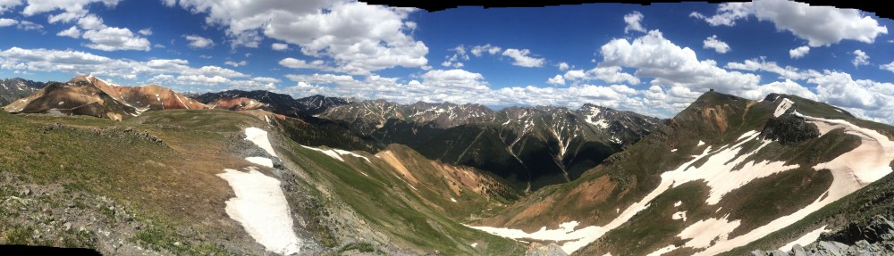
 Melissa has the contract to do the entire Escalante River corridor and it’s going to take a couple of years to count and record the legend tree data for that entire stretch. The Escalante River is popular and famous for it’s remote, wild and scenic desert beauty. Most of the drainage is not easily accessible to hikers unless they’re prepared for rugged
  multi-day backpacking, and since it’s become a Wilderness Area the trails have become almost nonexistent. Occasionally it’s possible to run the river in smaller rafts or kayaks, but it’s normal flow is in fractions of a CFS. When it floods with 1,000, 2,000 or even 4,000 CFS it runs wall to wall in many places but reportedly only for very short periods. You need to be constantly aware of the flash flood possibilities. It was .86 CFS for us.
 Mike and I were skeptical of the minimal mileage Melissa expected to cover each day, when she told us about her previous trips above our starting point. Less than five miles seemed too little for a full day of hiking. Well, we diminished even that small number of miles by totaling only 1.5 and 2 miles of river in a 10 hour day. We did manage just over 5 miles hiking each day, but when you go back and forth, round and round, across the river and back all day long, it’s hard to get very far down the river. Below is a screen capture of our track (Gaia GPS App on iPhone) for just one meander of the Escalante River.
 We did manage 29.8 miles total, according to the Gaia GPS data, but as for data recording along the Escalante River, we only managed to knock off a little less than 7 river miles in 5 days. The hike in was 5.5miles and the hike out was 4.9 miles, and those tracks weren’t spent recording data. So that leaves 19.4 miles of walking around 7 miles of river bank. And walking isn’t the best descriptor, since the foliage and
  density of vegetation along the river proper is more like desert jungle, with Tamarisk, Coyote willow, and Russian olive, not to mention 5 and 6 foot Rabbit Brush. Just getting out of the river and up 6-to 8-foot shear vertical sand and grass banks provided plenty of slipping laughter.
 Legend trees have to meet certain criteria: for Cottonwood it needs to be greater than it’s cohorts, in this case at least a meter in diameter, have deeply furrowed bark, at least two dead branches and meet a subjective criteria sometimes measured as a vocal “Oh shit, look at this one”.
 When you focus on trees, vegetation species, and go slower than the average adventurer, it makes for an extremely interesting and rewarding trip. Mike kept us aware of the long forgotten Petroglyphs he noticed on the Navajo Sandstone walls, plus the numerous animal tracks reminded us we were only moments away from fleeing and feeding game who knew the trails far better than us. It was a great trip in a very special Wilderness.
We all look forward to going back.
 And of course there’s always the “virtuous” reward meal…Strawberry Cheesecake milkshake, Mushroom Onion Burger and Onion Rings back in civilization.
For Mike’s photos in Picasa go to Mike’s Photos, and several of his photos are in this blog, since the iPhone was in a water-tight bag.


